


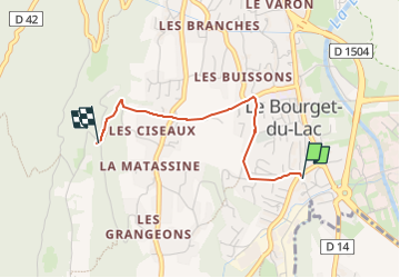

6.6 km | 13.7 km-effort


User


FREE GPS app for hiking
 SityTrail
IGN / Geographical institutes
SityTrail World
The world is yours!
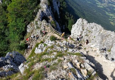
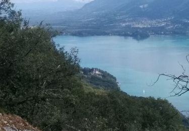
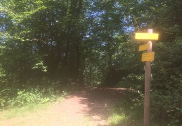
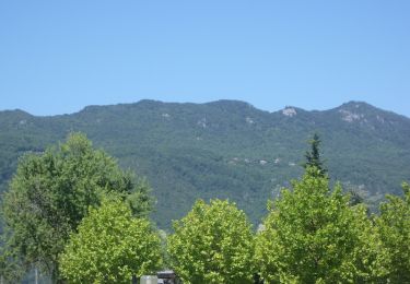
Trail Trail of 2.1 km to be discovered at Auvergne-Rhône-Alpes, Savoy, Le Bourget-du-Lac. This trail is proposed by cyrille73370.

Walking
Mountain bike
Walking
Walking

Walking
Walking
Road bike
Walking
Walking